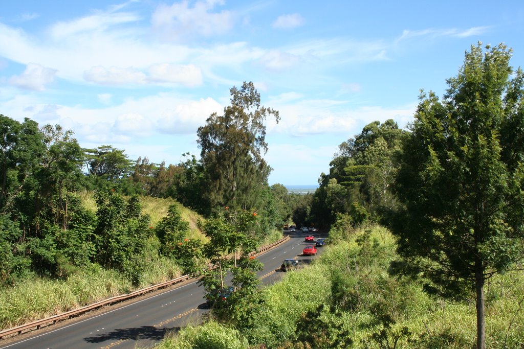
Mililani Town

This photo was taken from a pedestrian over pass in Mililani Town which is in the center of the island of Oahu. The interesting thing about this photo is that even in the middle of the island, you can still see the ocean in the distance.
The road is named Kamehameha Highway. It runs (for the most part) vertically through the center of the island. It is named after one of Hawaii's most celebrated Kings, who ruled in the 1700s. He is most known for uniting Hawaiians across the islands. Pervious to this each island existed autonomously.
Here is a map of the island to help you visualize it (if your interested) ... Kamehameha Highway is the one numbered "99". http://www.aaccessmaps.com/show/map/oahu Incidentally, I was facing south (toward Pearl Harbor) when I took this photo.

7 Comments:
Thanks for the history course, it's great. It's so cool to learn things on Hawai'i. I love it! Strange the hawaian countryside looks like the french one... I'll feel closer to you! :) ha ha!
I like you pictures, when I look at them I feel like I'm on holiday :), I wish!
Great that you put the map, interesting to expore it more closely.
This is cool - i don't drive on this side of the island much! And great that you added the map - adds a uch better perspective on the image - Hope you have/had a good weekend and getting ready for July 4th!
Céline is so right this could be the Riviera:)
Thank you Kala!
I feel happy with your help!
Yeah! Just like i wish to see Hawai'i some day! ;-) Just add cows and it will be it! :)
I'm sure we've been through this one once. Oh and by the way - yeah I loved riding in Europe... :)
Post a Comment
<< Home